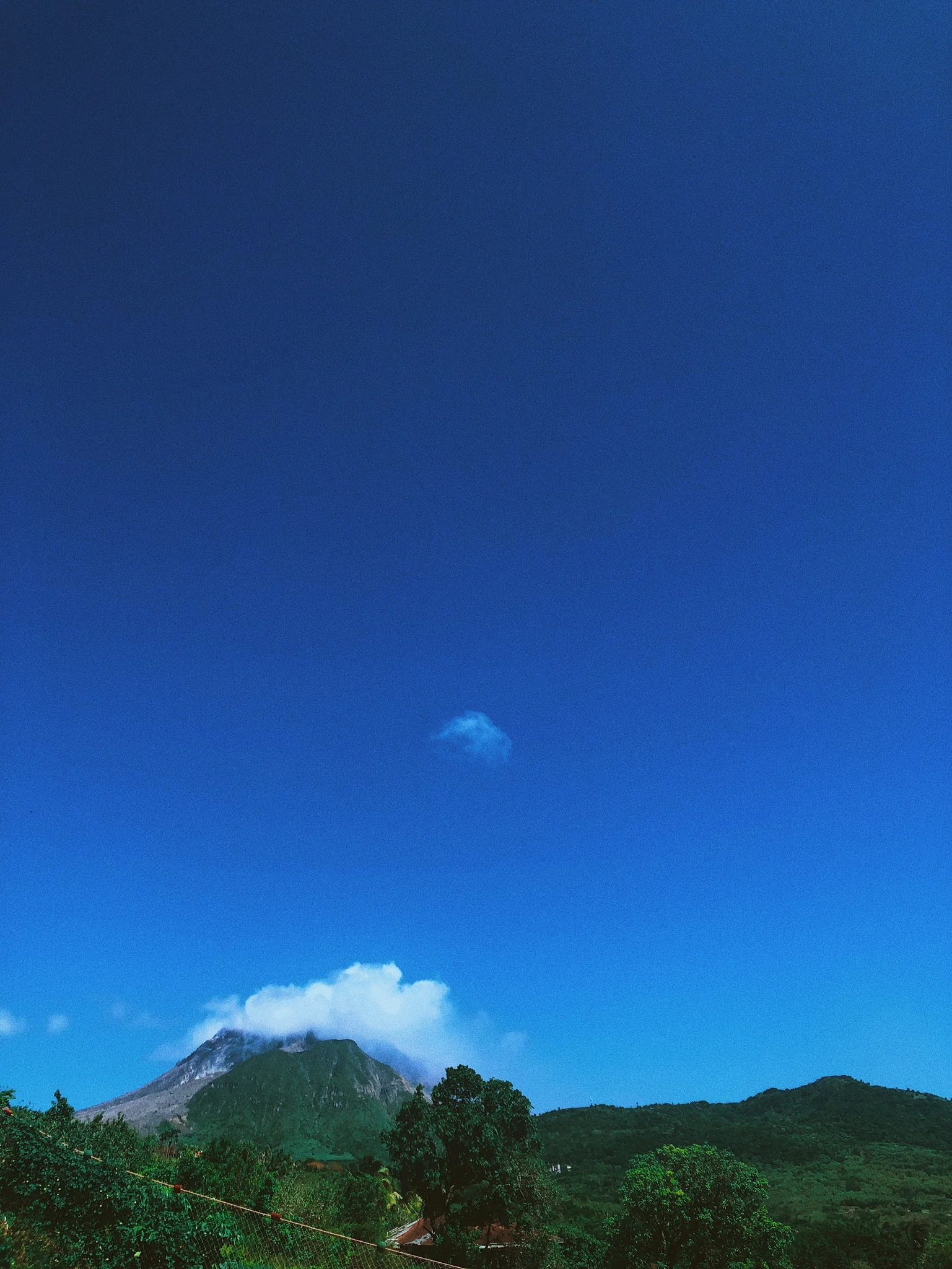
Soufrierre Hills - Shot on iPhone
Salem at Dusk
Salem at High Noon
It was 7:30pm and I was sitting on a ferry. I wasn’t going any far distance, but rather “cross da road” to an island more or less fully visible from Antigua on a clear day. I was heading to Montserrat, a British overseas territory, for an inexpensive family vacation and a much needed change in pace as I’d spent most of my summer at home working.
I sat down for a little over an hour and crossed the bi-polar channel between Antigua and Montserrat. Before I knew it, we had docked at Little Bay and I was packed in a jeep with my family driving to my Uncle’s house in Olveston village, Salem, in the southern part of Montserrat. The village was in the last usable southern parish as the others were cordoned off in the Volcanic exclusion zone.
My first full day of activity on the Island was on a Sunday. I woke up relatively early to greet the day and after a bowl of cassava porridge, my family got themselves together, piled into the jeep and made their way toward the beach.
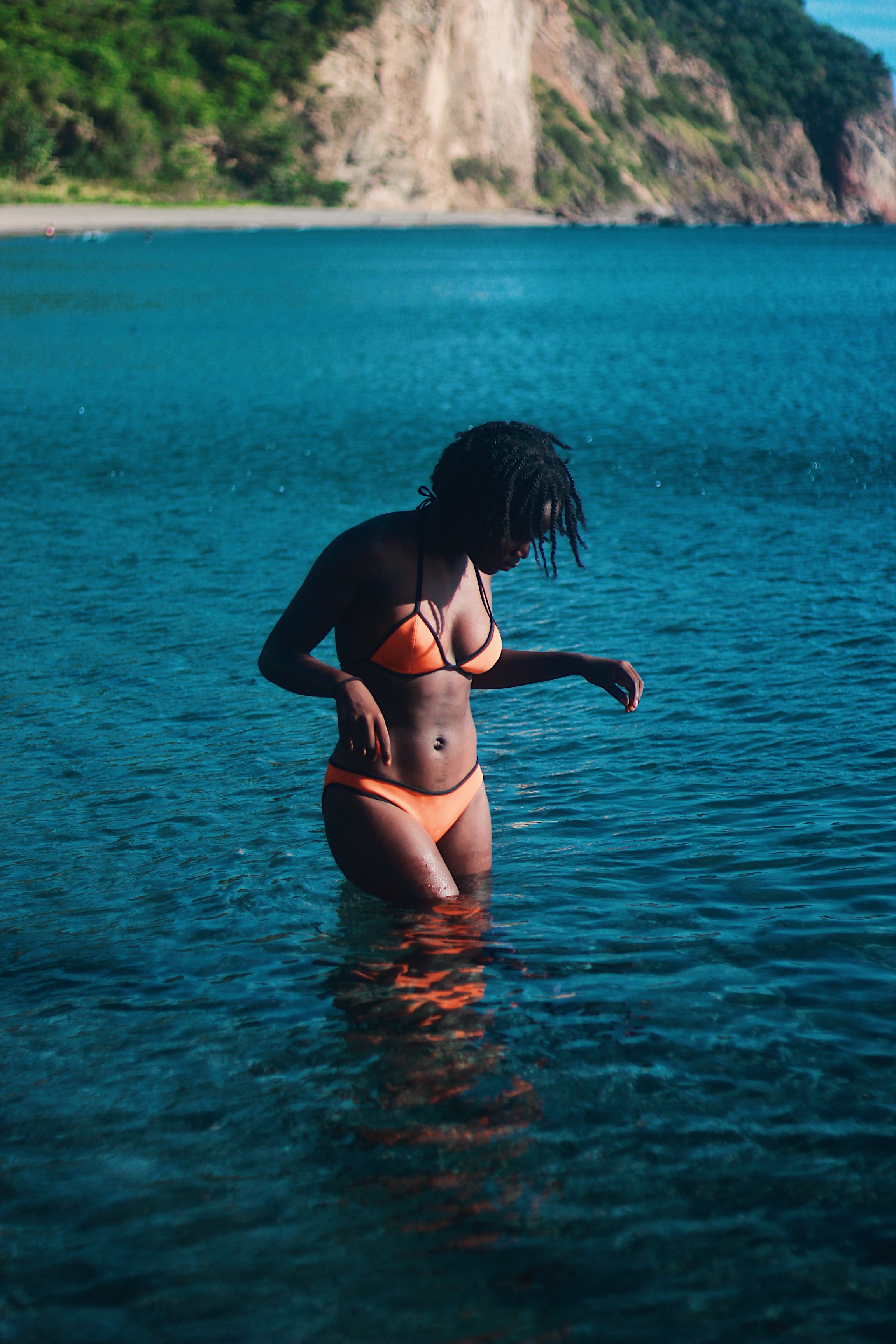
Isles Bay, Montserrat
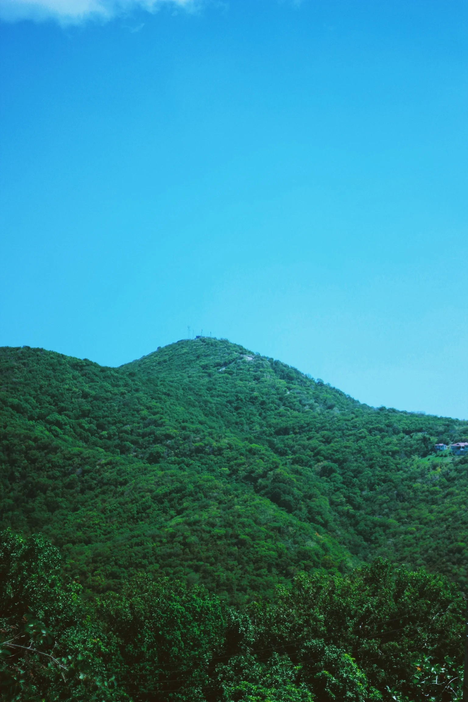
Driving took a bit of concentration for my Uncle as Montserrat is extremely hilly, has very narrow roads, and his jeep was packed. I was too distracted by the canopy of green surrounding me to care that if we drove over a rock too hard I could fall out the trunk. Every bend and every hillside was drenched in vegetation.
While taking in the lush greens, I did notice a lot of empty houses and overgrown lots. It reminded me that Montserrat used to be a prime resort destination, and a lot of people used to live there, but many left and have yet to even return after the devastation of the Volcanic eruption of 1995 which left 1/3rd of the Island uninhabitable and labelled the exclusion zone. Looking around at all the life and vibrancy of the Island, you’d be tempted to forget.
Lush Greenery
As we drove further south to get to the beach, I realized that we were nearing the Volcano. Isles Bay, where I would swim, was located in Zone B of the island which is on the border of the Daytime Entry Zone and a short drive away from the barred of Exclusion Zone. In order to get to the beach, we had to drive through the Belham Valley which was destroyed during the volcanic eruption. We drove through a river bed and passed tractors mining material from the volcano for construction. Another subliminal reminder of just how much has been shaped by the volcano.
When we finally got to Isles Bay, the first thing that caught my eye was how deep blue the sea water was and the stark contrast against the black sand. The Caribbean is mostly known for white sand beaches so pulling up to black sand was a stark difference. The beach was beautiful. The sand made the blue of the water look even deeper and the sea was amazingly calm and inviting. The beach was a great chill spot as it had a beach bar and benches making it great for the family lime.
Before I knew it, Monday had rolled around and it was finally time to get up close and personal with Soufrierre Hills. Once again we hit the road this time going further south beyond Isles Bay. As we drove, the presence of the volcano became even more imposing and I realized just how large it was. We passed a few eerie barriers and black sand mines and made our way to a cozy portion of hillside that overlooked what used to be the bustling city center of Plymouth.
All I could see before me was the tops of houses covered beneath many meters of lava and dirt and the plumes of smoke coming from Chances Peak, the culminant point of Soufrierre Hills. It was chilling to look at as I couldn’t even begin to process how the landscape looked before the eruption.
After a close look at the volcano, we then drove back toward Salem and made our way to the famous Runaway Ghaut. It’s a famous spring in Montserrat and there’s a saying that once you drink the waters you are bound to return to the Island. The water was some of the coldest and purest I’ve ever tasted and I definitely would be returning to the Island whose scenery stole my heart.
Below are photos from my trip to Montserrat with even more footage than the original publication on Bankra Travel. Here you go.
Cotton Candy Sunsets in Salem
Life & Destruction - Juxtaposition
Chances Peak - Details
Deep Ridges in the Earth Created by the plate shift during eruption
Uninhabitable Villages
Drinking Spring Water
Cobalt Blue
Black on Black


